Todd Road Waterline Survey and SUE
Drone and GPS topographic survey with Quality Level A subsurface utility investigation for a 12,200 foot, 16 inch City of Midland waterline extension.
Existing Conditions and Utility Data for a City Waterline
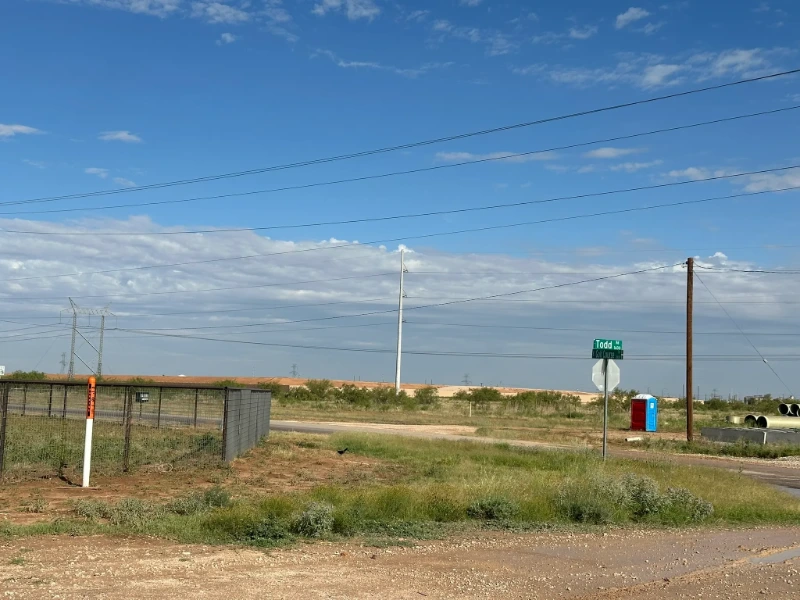
In 2025, the City of Midland selected Magrym Consulting to provide topographic surveying and Subsurface Utility Engineering (SUE) Quality Level A services for a proposed 16 inch waterline extension. The approximately 12,200 foot alignment begins at Meadowside Street, follows Loop 250, turns south onto Todd Drive, and continues to the golf course.
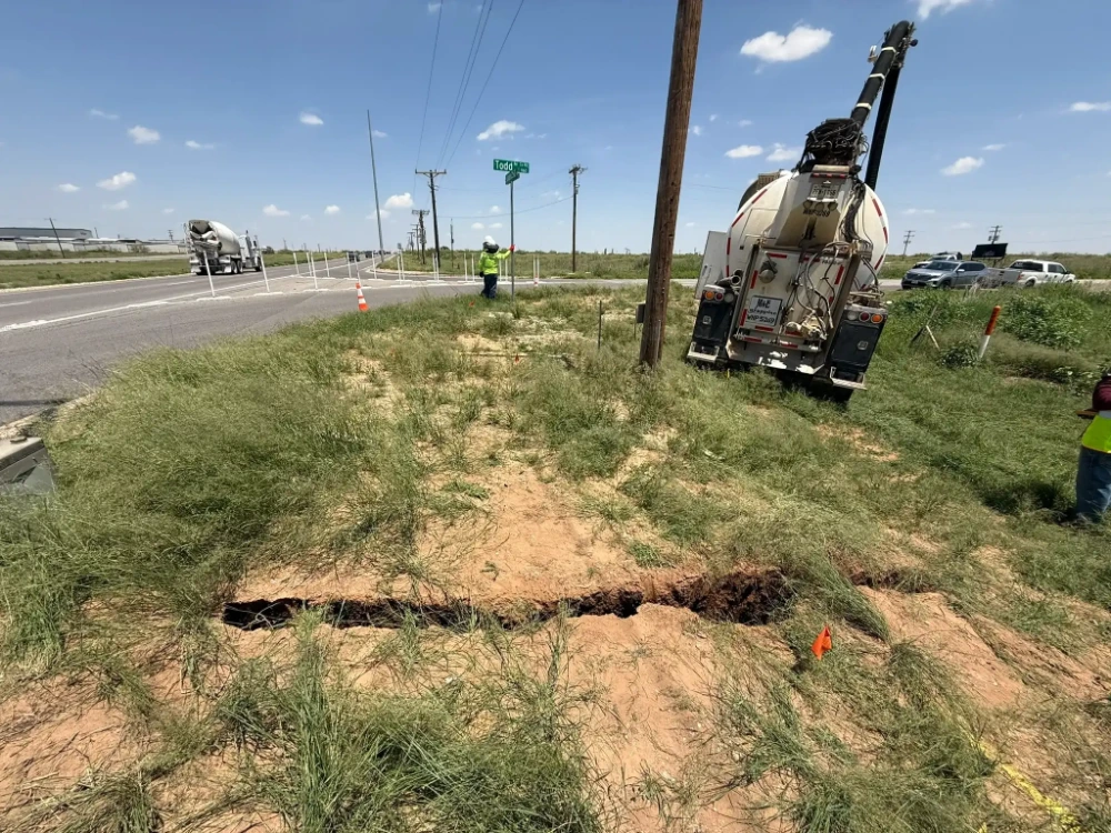
Our scope included topographic data collection using drone and GPS surveying technology, along with Quality Level A investigations at utility crossings throughout the proposed alignment. Hydrovac excavation exposed existing utilities so their horizontal and vertical locations, diameters, and materials could be documented.
Services delivered on this project:
A Corridor Full of Utilities Nobody Had Measured
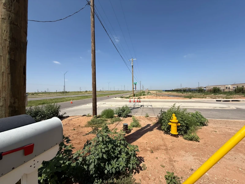
Loop 250 and Todd Drive carry overhead power, communications, gas, and existing water and sewer lines. Record drawings show roughly where those utilities run, but not how deep. A 16 inch waterline designed against approximate depths runs into conflicts in the field, and every conflict becomes a change order.
The city needed reliable existing-condition data along more than two miles of roadway, plus verified depths at each crossing, before design moved forward.
How Magrym Mapped the Alignment
Aerial and ground survey for the corridor, then hydrovac test holes where the design needed certainty.
Drone and GPS topographic survey
Collected existing-condition data along the full alignment using drone mapping and GPS survey for control and ground detail.
Crossing identification
Reviewed the corridor to identify every utility crossing where the proposed waterline would intersect existing lines.
Quality Level A test holes
Used hydrovac excavation to safely expose utilities at each crossing and record horizontal and vertical location, diameter, and material.
Design-ready deliverables
Delivered the existing-condition survey and utility data to support design, planning, and conflict resolution.
Fewer Surprises Between Design and the Trench
The resulting existing-condition and utility data supported the city’s design and planning while helping identify and reduce potential utility conflicts before construction.
With verified depths at every crossing, the waterline can be designed to clear what is already in the ground, and the city avoids the field changes that unverified utilities tend to produce.
Fieldwork Along Todd Drive
Hydrovac excavation and corridor documentation at the Todd Drive crossings.
 Jul 24, 2025Jul 24, 2025Jul 24, 2025
More Projects
 Land Development
 The Nest Subdivision
Civil design for utilities, roads, grading, and drainage, plus construction management and coordinated testing and staking through build-out.
View Project Municipal
 Midland County Detention Facility
Soils, concrete, and masonry testing plus on-site inspection for the county facility that replaces the aging Midland jail complex.
View Project Municipal
 Midland County Justice of the Peace Annex
Soils, concrete, and masonry testing for the 29,000 square foot courthouse annex that consolidates county departments downtown.
View ProjectHave a Project Like This One?
Talk to a project manager about scope, schedule, and a quote.