Topographic Survey: The Data Your Design Is Built On
Every grading plan, drainage design, and site layout starts from the topo. If the existing-conditions data is wrong, the design is wrong, and the problem shows up in the field. Magrym delivers accurate topographic surveys across Midland and the Permian Basin, sealed by a licensed RPLS, so your engineers design from solid ground.
Existing Conditions: What a Topographical Survey Measures
This survey maps the existing conditions of a site. The elevations, the contours, the slopes, the drainage patterns, and the physical features already on the ground. It is the base map that civil engineers, architects, and site designers build on. Grading, drainage, utilities, and layout all reference the topo, which means the accuracy of the topo sets the ceiling on the accuracy of the design.
When the topo survey is off, the cost lands later and larger. A grading plan that does not balance. A drainage design that ponds where the model said it would drain. A pad that does not fit. These show up during construction, when changing them is expensive. Accurate existing-conditions data is the cheapest place to get the project right.
Magrym Consulting delivers these surveys across Midland and the Permian Basin, sealed by a licensed Texas RPLS. We capture the data your design team needs in the format they use, and because we also do the civil engineering, we know what a usable topo looks like. You talk directly to the surveyor on your project.
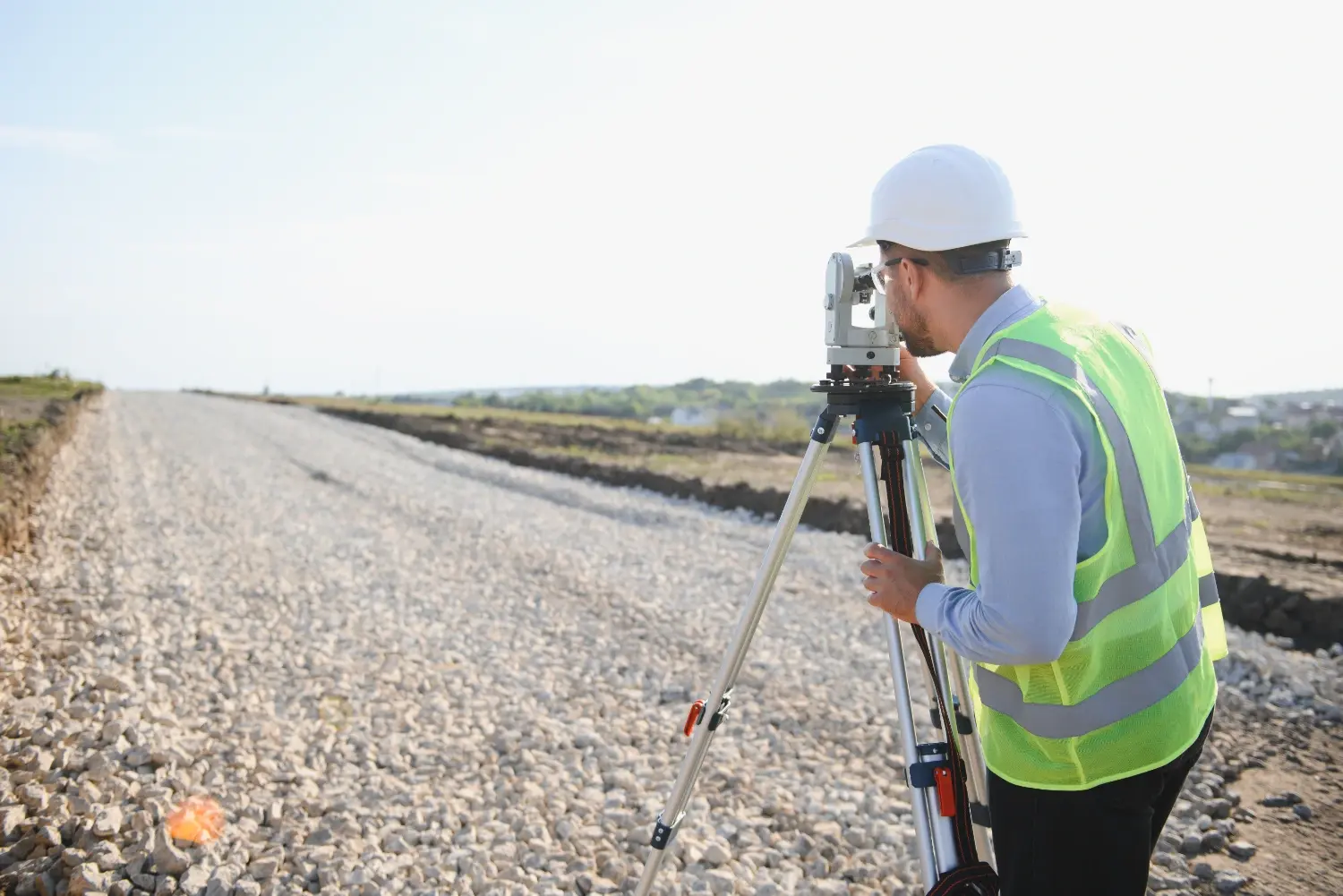
A Complete Picture From Our Topographic Survey Services
We capture the existing conditions your design depends on through a detailed terrain survey, accurately and in the format your engineers and architects use.
Elevations & Contours
We run a contour survey that captures spot elevations and generates the contours showing the shape of the land, the base layer every grading and drainage design starts from.
- Spot elevations and grid
- Contours at design interval
- Breaklines and grade changes
Drainage & Flow Patterns
We map the drainage features, the flow lines, and the low points so the stormwater and drainage design reflects how water actually moves across the site.
- Flow lines and low points
- Existing drainage features
- Ponds, channels, and culverts
Site Features & Improvements
We locate the buildings, pavement, fences, and other improvements on the site so the existing conditions plan shows what is there, not just the bare ground.
- Buildings and pavement
- Fences, walls, and structures
- Vegetation and surface cover
Visible Utilities
We locate the visible surface evidence of utilities, the meters, valves, manholes, and poles, and tie them into the survey for the design team.
- Surface utility evidence
- Meters, valves, and manholes
- Overhead lines and poles
Design-Ready Deliverables
We deliver the survey in the CAD format your design team works in, with the layering and surface model they need to start designing immediately.
- CAD-ready surface and contours
- Layered to your standards
- Tied to a known datum
Drone-Assisted Coverage
For larger or hard-to-access sites, we run a drone topographic survey alongside ground crews to build dense, accurate data efficiently, with field control behind it.
- Ground plus drone capture
- Dense data on large sites
- Ground control verified
Who Designs From Our Topo
Anyone designing on a site needs accurate existing-conditions data before the first line is drawn.
Civil Engineers and Architects
Design professionals need a topo they can build on. We deliver accurate, CAD-ready existing conditions so the grading, drainage, and site design start from reliable data.
Developers and Land Owners
Before a site is designed or entitled, developers need to know what is there. A topographic survey gives the existing-conditions picture the project planning depends on.
Energy and Industrial
Pads, facilities, and industrial sites across the Permian Basin need accurate topo for design and earthwork. We capture it efficiently, with drone support on larger sites.
Municipal and Public Works
Street, drainage, and infrastructure projects need topo that holds to a known datum. We provide the accurate existing-conditions surveys these projects are designed on.
A Survey Team That Knows What Designers Need
A topo is only useful if the design team can build on it. Magrym is the Midland firm with the RPLS authority, the survey-grade equipment, and the in-house civil engineering to deliver a topographical survey that is accurate, complete, and ready to design from.
From Field to Design-Ready Topo
A clear path, run by the same surveyor, built to hand your design team usable data.
Scope and Control
We confirm the limits, the contour interval, the deliverable format, and the datum for the elevation survey, and set control on the site. You get a fixed-fee proposal up front.
Field Capture
Our crew collects the elevations, features, drainage, and visible utilities with survey-grade equipment, adding drone capture where the site calls for it.
Processing and QA
We build the surface, draw the contours, and check the data for accuracy and completeness against the design team’s requirements.
Deliver and Support
A licensed RPLS seals the survey. You receive a CAD-ready existing-conditions file, and we answer the design team’s questions directly as the project moves into design.
Frequently Asked Questions
A topographic survey maps the existing conditions of a site, including the elevations, contours, slopes, drainage patterns, visible utilities, and physical features. It is the base map that civil engineers, architects, and site designers use to design grading, drainage, utilities, and layout. The accuracy of the topo directly affects the accuracy of the design built on it.
Because the design is built on it. Grading plans, drainage design, and site layout all reference the existing conditions. If the topo is inaccurate, the design inherits that error, and the problem shows up during construction when it is expensive to fix. An accurate topo is the cheapest place to get the project right.
A boundary survey establishes where the property lines are. This survey maps the existing conditions on the site, the elevations and features. They answer different questions, and many projects need both. We can combine them so the boundary and the existing conditions are delivered together on one survey.
We deliver a CAD-ready file with the surface, contours, and features layered to your design standards and tied to a known datum, so your engineers and architects can start designing immediately. Tell us the format and standards your team uses, and we deliver to them.
Yes. For larger or hard-to-access sites we pair ground crews with drone capture to build dense, accurate topo efficiently, with field control behind it to verify the data. The result is a high-density existing-conditions surface delivered faster than ground methods alone on large sites.
Yes. We provide both topographic survey and civil engineering under one roof. When the same firm captures the topo and does the design, the existing-conditions data flows straight into the design without a handoff between companies, and the survey is captured knowing exactly what the design will need.
Get a Topographic Survey You Can Design From
When your project needs a topographic survey that holds up under design
, call Magrym Consulting. We deliver accurate, design-ready data across
Midland and the Permian Basin, sealed by a licensed Texas RPLS.
Call (432) 684-5548 to scope your project and get a fixed-fee proposal this week.