Survey for the Corridors That Move Texas
Highways, pipelines, and utility lines all run on right-of-way, and the right-of-way runs on accurate survey. Magrym delivers right-of-way survey work across Midland and the Permian Basin, with the corridor mapping and legal descriptions these projects depend on, sealed by a licensed RPLS.
The ROW and Easement Survey Behind Every Corridor Project
A right of way and easement survey defines the strip of land a corridor occupies and the rights that run with it. For a highway, a pipeline, a transmission line, or a utility, this survey establishes the existing right-of-way, supports the acquisition of new easements, and produces the plats and legal descriptions that the design, the acquisition, and the record all depend on.
Corridor work is exacting. It crosses many ownerships, ties to existing record right-of-way, and has to produce legal descriptions that hold up to title and acquisition. An error in the ROW does not stay small. It stalls acquisition, complicates the easement, and follows the project into construction. Accurate corridor survey work is what keeps the project moving.
Magrym Consulting delivers right of way survey services across Midland and the Permian Basin, sealed by a licensed Texas RPLS. We map the corridor, tie it to the record, and prepare the legal descriptions to the standard your acquisition and legal teams require. You talk directly to the surveyor on your project.
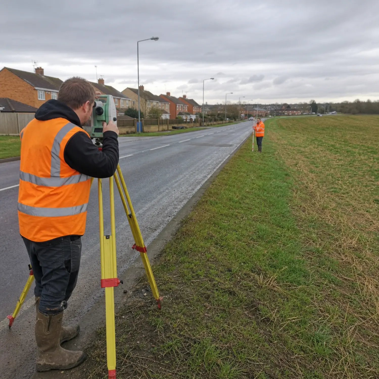
ROW Survey for the Full Corridor
From establishing existing right-of-way to preparing the descriptions for new easements, we cover the survey work a corridor project needs.
Existing ROW Determination
We research and retrace the existing right-of-way from the record and the monuments on the ground, establishing where the current corridor falls.
- Record research and retracement
- Existing ROW lines established
- Monument recovery
Corridor Mapping
Our right of way mapping captures the ownerships it crosses, the features along it, and the data the design and acquisition teams work from.
- Ownerships along the route
- Features and crossings
- Strip maps and plans
Easement Surveys & Exhibits
We provide easement survey work for new and existing easements and prepare the exhibits that show exactly what is being acquired or encumbered along the corridor.
- Permanent and temporary easements
- Acquisition exhibits
- Parcel plats
Legal Descriptions
We prepare the metes-and-bounds and parcel descriptions that tie each acquisition to the record, to the standard title and acquisition require.
- Metes and bounds descriptions
- Parcel and easement descriptions
- Title-ready exhibits
Encroachment & Conflict Mapping
We identify encroachments and conflicts within and along the right-of-way so they are known and addressed before they reach acquisition or construction.
- Encroachments documented
- ROW conflicts flagged
- Existing occupancy noted
Local Crews, Fast Coverage
Based in Midland and working the Permian Basin every week, we cover long corridors efficiently and keep the survey moving with the project.
- Efficient corridor coverage
- Local crews in the basin
- Direct line to your surveyor
Who Relies on ROW Survey and Corridor Work
Corridor projects of every kind depend on accurate right-of-way survey, from the agencies that own the roads to the companies that build the lines.
Highway and Roadway Projects
Roadway and corridor projects need existing right-of-way established and new acquisitions documented. We deliver the ROW survey, plats, and descriptions these projects run on.
Pipeline and Midstream
Our pipeline right-of-way survey work covers gathering corridors that cross many ownerships and need easement documentation and legal descriptions. We map the route and tie it cleanly to the record for acquisition.
Utility and Transmission
Our utility right-of-way survey work covers electric, water, and telecom corridors, supporting new lines and existing infrastructure. We provide the corridor mapping and descriptions they require.
Land Acquisition and Legal
Acquisition agents and counsel need parcel plats and legal descriptions they can rely on for a right-of-way survey for land development. We prepare them to title and acquisition standards.
Right of Way Survey Services From a Licensed Local Firm
Precision and record knowledge are what this work rewards. Magrym is the Midland firm with the RPLS authority, the legal-description expertise, and a certified ROW surveyor on every corridor project to tie the mapping accurately to the record the way acquisition and title require.
From Record to Filed Descriptions
A clear path, run by the same surveyor, built to keep the corridor moving.
Research and Scope
We gather the deeds, plats, and existing right-of-way records along the corridor, confirm the deliverables, and set a schedule. You get a fixed-fee proposal up front.
Field Survey
Our crews recover monuments and survey the corridor, establishing the existing right-of-way and capturing the ownerships, features, and conflicts along the route.
Plats and Descriptions
We prepare the corridor maps, parcel plats, and legal descriptions, reconcile them with the record, and check them to acquisition and title standards.
Seal and Deliver
A licensed RPLS signs and seals the deliverables. You receive acquisition-ready plats and descriptions, and we answer questions directly so the corridor keeps moving.
Frequently Asked Questions
A right of way survey defines the strip of land a corridor occupies and the rights that run with it. For a highway, pipeline, transmission line, or utility, it establishes the existing right-of-way, supports the acquisition of new easements, and produces the plats and legal descriptions that design, acquisition, and the record depend on.
A right-of-way is the corridor of land a road, pipeline, or utility runs along. An easement is a legal right to use a portion of someone’s land for a specific purpose, such as a pipeline or utility line. ROW survey work often involves both, establishing the corridor and surveying the easements within or alongside it. We handle both and prepare the descriptions for each.
Yes. We prepare metes-and-bounds and parcel descriptions, easement descriptions, and acquisition exhibits tied to the survey and the record. They are prepared to the standard that title companies and acquisition teams require so the right-of-way can be acquired cleanly.
Yes. We research the record and retrace the existing right-of-way on the ground, recovering monuments and establishing where the current corridor falls. This is the starting point for most corridor projects, since new design and acquisition reference the existing right-of-way.
We survey right-of-way for highway and roadway corridors, pipelines and gathering lines, and electric, water, and telecom utility corridors across Midland and the Permian Basin. Whatever the corridor, we establish the right-of-way, survey the easements, and prepare the plats and descriptions the project needs.
Yes. We provide right-of-way survey, civil engineering, and subsurface utility engineering under one roof. For a corridor project, that means the same firm can establish the right-of-way, locate the utilities, and support the design, which keeps the survey and the engineering consistent and reduces coordination between separate companies.
Keep Your Corridor Project Moving
When the corridor has to move, the survey cannot be the reason it stalls.
Magrym delivers right-of-way survey work Midland TX agencies, pipeline
operators, and utility companies rely on, sealed by a licensed Texas RPLS.
Call (432) 684-5548 to get your corridor project scoped this week.