Oil and Gas Surveying: Survey Crews Already in the Basin
In the oilfield, the survey cannot wait on a crew driving in from another market. Magrym is the Midland firm providing oil and gas surveying with crews already working the Permian Basin, ready to mobilize to the well pad, the lease, or the pipeline corridor and deliver the plats and surveys your operation runs on.
Built for the Pace of the Oilfield
This work covers putting a well, a lease, or a pipeline on the map and on the record. Well location plats, lease and pad surveys, pipeline routes, right-of-way and easement surveys, and as-builts. It is precise oil field surveying tied to legal descriptions, and in the Permian Basin it has to move at the speed the operation does.
The difference is who is already here. A survey crew driving in from another region adds days before it ever reaches the lease. Magrym is based in Midland with surveyors working the basin every week, so mobilization is measured in hours and the plat does not become the thing that holds up the permit, the spud, or the line.
Magrym Consulting delivers this survey work across the Permian Basin, sealed by a licensed Texas RPLS. We know this ground, the access roads, and the legal-description standards your land and legal teams expect. You talk directly to the surveyor on your project, and the deliverable lands accurate and on time.
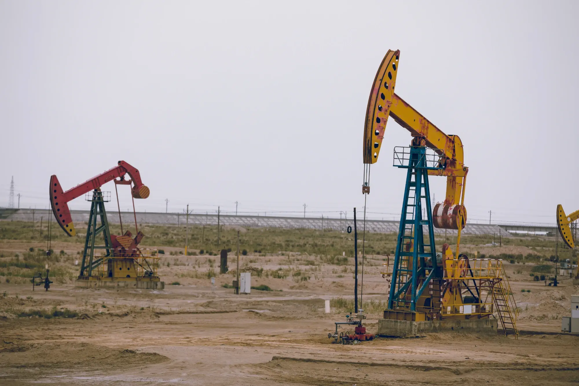
Pipeline Surveying Services Across the Oil and Gas Lifecycle
From the first lease survey to the final as-built, our pipeline surveying services cover the survey work an operation needs across the well and the pipeline.
Well Location Plats
We prepare well location plats that fix the surface and bottom-hole positions and the surrounding tract data needed for permitting and filing.
- Surface and bottom-hole locations
- Tract and lease line data
- Permit-ready plats
Pipeline & ROW Surveys
We provide pipeline surveying for routes, gathering lines, and corridors, capturing the alignment, the right-of-way, and the crossings needed for design and acquisition.
- Pipeline route survey and alignment
- Right-of-way and easements
- Crossings and tie-ins
Lease & Pad Surveys
We survey lease boundaries, pads, and facility sites so the footprint is documented accurately for construction, title, and operations.
- Lease boundary surveys
- Pad and facility layout
- Access road surveys
Legal Descriptions
We prepare and review the metes-and-bounds and tract descriptions that tie the survey to the record, to the standard land and legal teams require.
- Metes and bounds descriptions
- Easement descriptions
- Exhibits for filing
As-Built Surveys
We document what was actually constructed on the pad, the facility, or the line, so the record matches the field for operations and compliance.
- Pad and facility as-builts
- Pipeline as-builts
- Field-to-record reconciliation
Fast Basin Mobilization
Our crews are already in the Permian Basin, so we reach the lease quickly and keep the survey from becoming the bottleneck on your schedule.
- Crews already in the basin
- Hours, not days, to the lease
- Direct line to your surveyor
Who Relies on Our Oilfield Surveying
From operators to midstream to the land teams behind them, the work depends on accurate survey, delivered fast and in the basin.
Operators and E&P Companies
Upstream operators need well location plats, pad surveys, and as-builts delivered on the drilling schedule. We mobilize fast and keep the survey off the critical path.
Midstream and Pipeline
Midstream companies building gathering systems and pipelines rely on our pipeline surveying for route, right-of-way, and as-built work. We survey the corridor and tie it cleanly to the record.
Land and Legal Teams
Land departments and counsel need legal descriptions and easement exhibits that hold up to title and filing. We prepare them to the standard your record requires.
EPC and Construction
Engineering and construction firms building oilfield facilities need staking, layout, and as-built survey. We provide them under one roof alongside the survey of record.
A Basin Firm That Moves at Oilfield Speed
Oilfield survey is about precision and presence. Magrym is one of the gas pipeline survey companies with the RPLS authority, the legal-description expertise, and crews already in the basin to deliver accurate survey work without the delay of mobilizing from somewhere else.
From Call to Filed Plat
A clear path, run by the same surveyor, built to keep your operation moving.
Scope and Records
We confirm the location, the deliverable, and the requiring standard for the pipeline survey or lease work, pull the deed and tract records, and set a delivery date against your operations schedule.
Field Survey
Our basin crews mobilize quickly, locate the boundary, the well, the pad, or the corridor, and capture the field data the deliverable requires.
Plat and Description
We prepare the plat, the legal description, and any exhibits, reconcile them with the record, and check them to the standard your land and legal teams expect.
Seal and Deliver
A licensed RPLS signs and seals the deliverable. You receive a filing-ready plat or survey, and we answer follow-up questions directly so the work keeps moving.
Frequently Asked Questions
Oil and gas surveying is the survey work that supports drilling and pipeline operations. It includes well location plats, lease and pad surveys, pipeline route and right-of-way surveys, legal descriptions, and as-built surveys. It is precise survey work tied to legal descriptions and the record, used for permitting, construction, title, and operations.
A well location plat is a sealed survey document that fixes the surface and bottom-hole positions of a well relative to the lease and surrounding tracts. It is the survey deliverable used in the permitting and filing process for a well. Magrym prepares well location plats sealed by a licensed Texas RPLS.
Because we are headquartered in Midland with crews already working the basin, we are one of the gas pipeline survey companies that can mobilize in hours rather than days. We do not lose time driving in from another region. Call Magrym at (432) 684-5548 with the location and the deliverable, and we will give you a timeline the same week.
Yes. We provide pipeline right-of-way survey work across routes, gathering lines, and corridors, including the alignment, the easements, and the crossings. We also prepare the legal descriptions and exhibits needed for acquisition and filing, and we provide as-built surveys once the line is constructed.
Yes. We prepare and review metes-and-bounds descriptions, tract descriptions, and easement exhibits tied to the survey and the record, to the standard land departments and legal teams require for title and filing.
Yes. We provide survey, civil engineering, construction staking, and materials testing under one roof. For oilfield pads, facilities, and roads, that means the same firm can carry the work from the lease survey through design, staking, and lab testing, which keeps the data consistent and the coordination simple.
Get Oilfield Survey Crews on Location Fast
When your operation needs oil and gas surveying that keeps pace with the schedule,
call Magrym Consulting. Our crews are already working the Permian Basin,
sealed by a licensed Texas RPLS.
Call (432) 684-5548 to get a mobilization timeline this week.